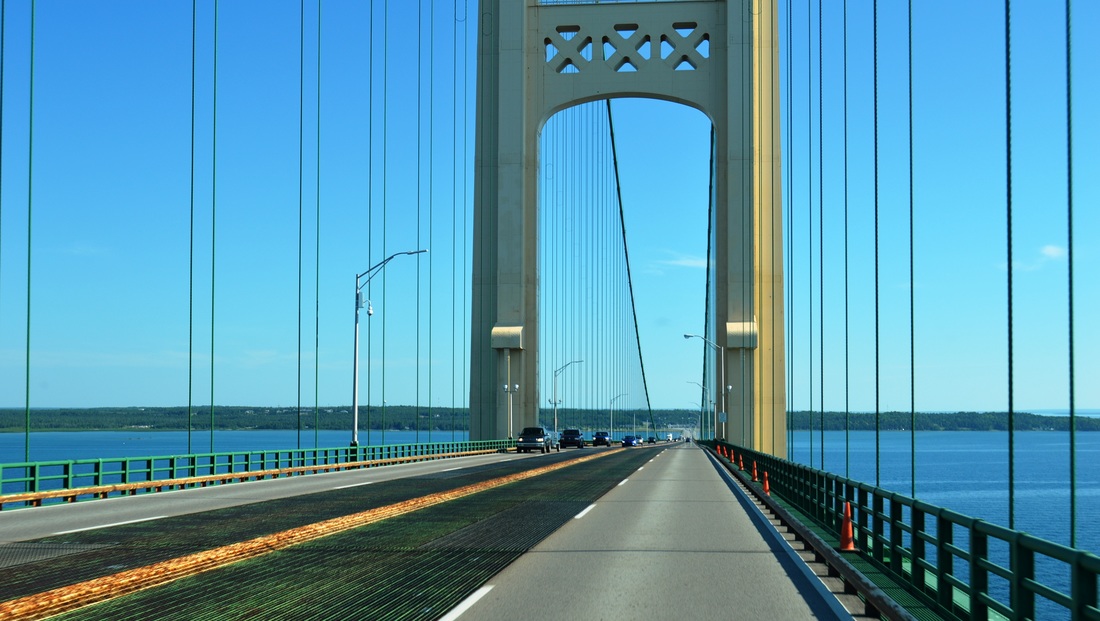
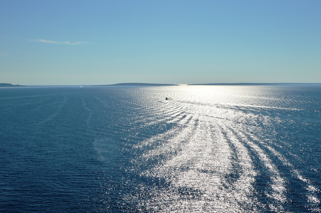
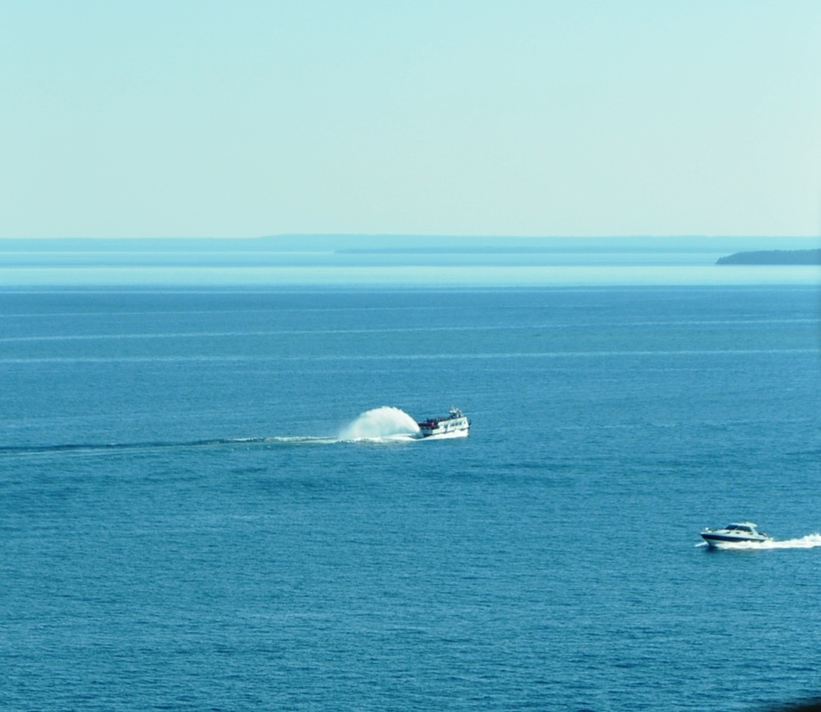
 At the Mackinac Bridge, connecting lower Michigan with its Upper Penninsula, aka UP, Lake Michigan and Lake Huron connect. Going north, Lake Michigan is on our left and Lake Huron on our right. What a sight. 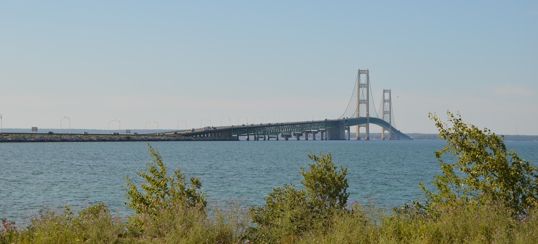 | Going north from the Indiana Dunes Lakeshore to Michigan, we decided to drive right smack in the middle of Michigan where we were flanked by the two great lakes, Lake Michigan and Lake Huron. The further north we went, the thicker the woods are and even if you're real close to either shore, you couldn't see a lake unless you're right on top of it. The climax is at the merging point of these two lakes.  As if to entertain our senses even more, the tour boats showed off with throwing huge rooster tails. We saw the entire bridge in its full gala when we arrived at the UP. Check it out! |
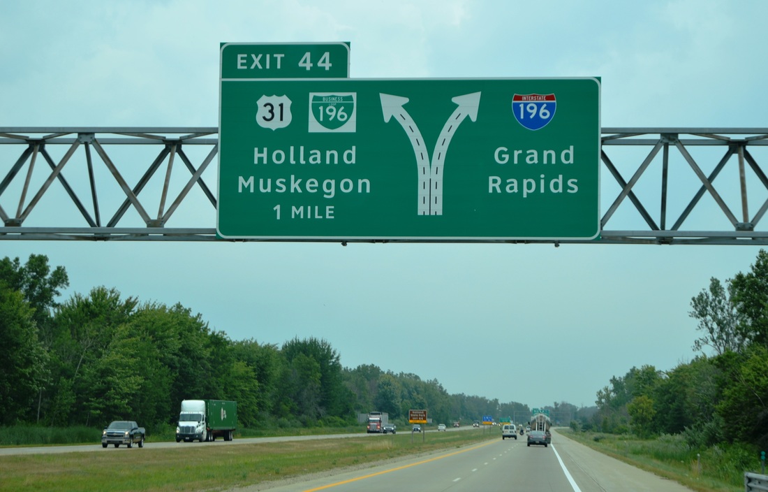
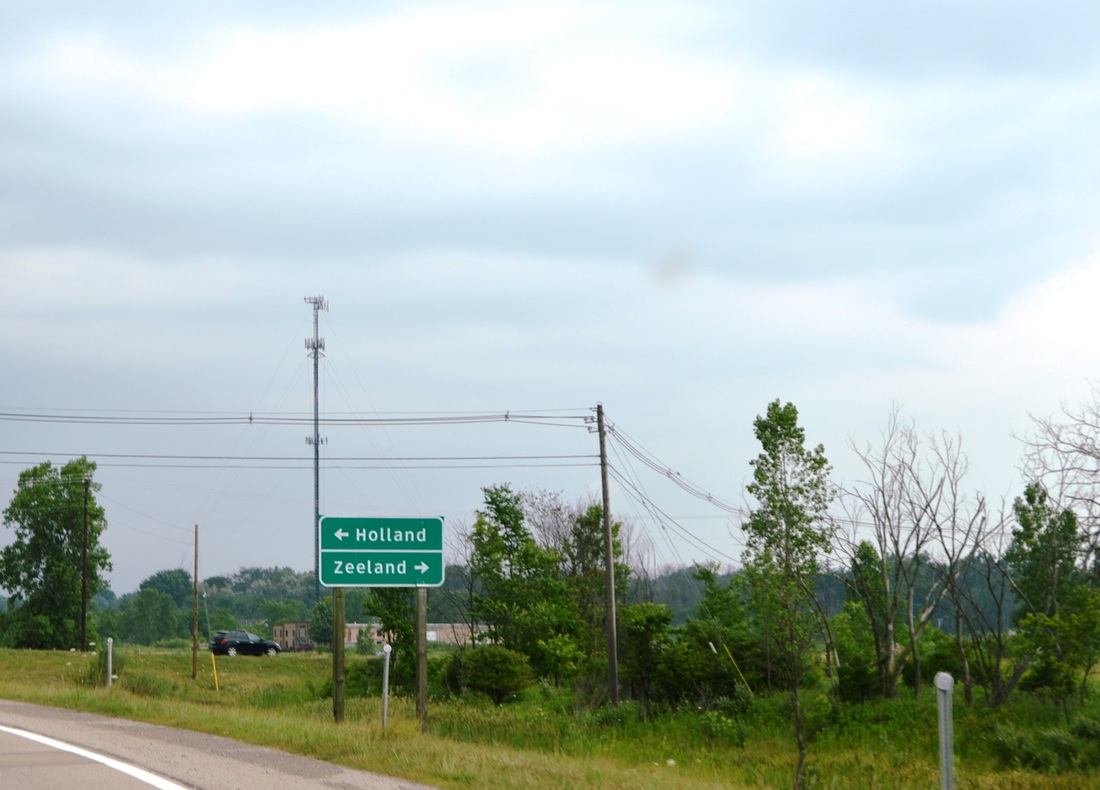
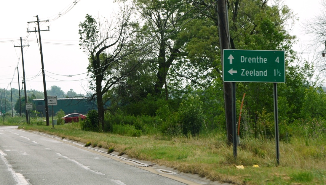
Oh, I almost forgot! For the Dutchie part of my family, Michigan must be where all the Dutch people migrated to. Holland, Zeeland, Drenthe, etc.. etc... was right here in MI. We didn't even have to cross the Atlantic! :-)
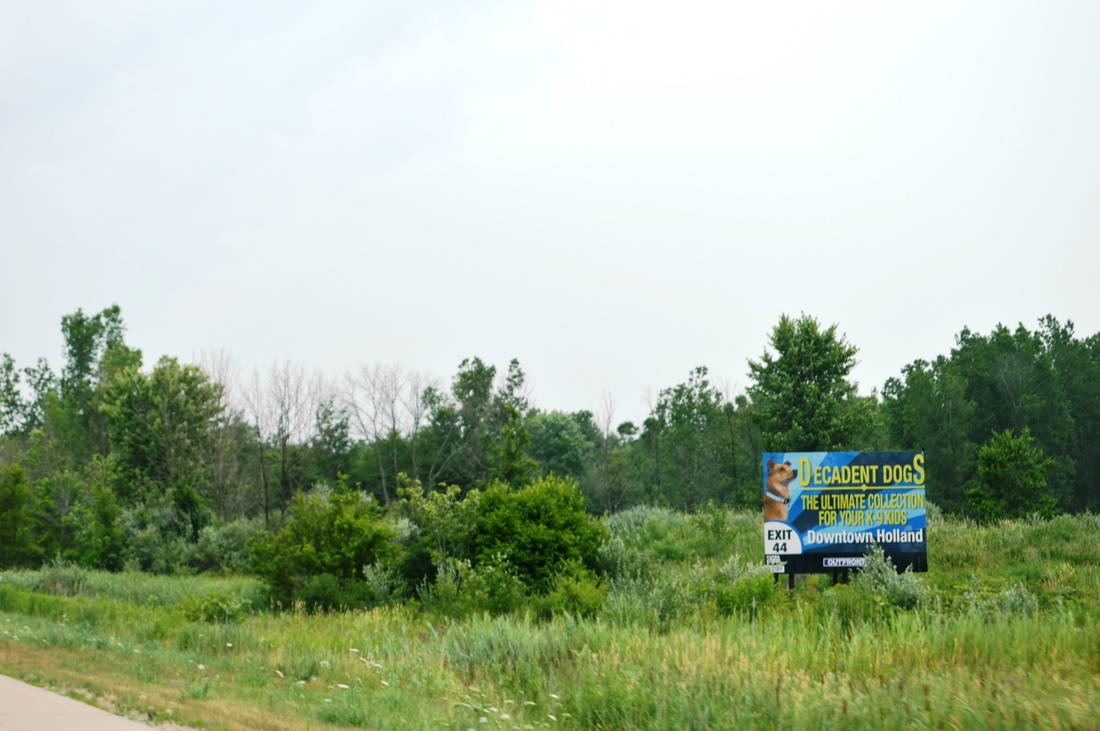
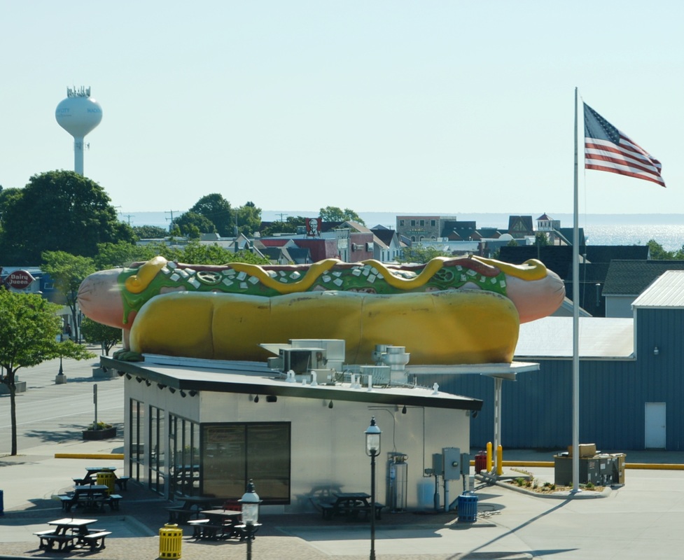
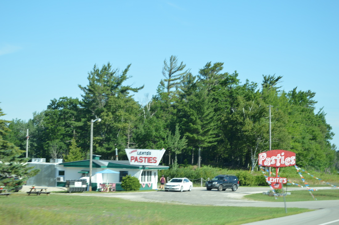
Another interesting tid-bit is the food one finds here... Pasties... is that a food? Giant hot dogs? Ooh, Allan is in heaven. Oh, and just in case all of you on the West Coast are missing Bob's Big Boy... he is alive and well in UP.

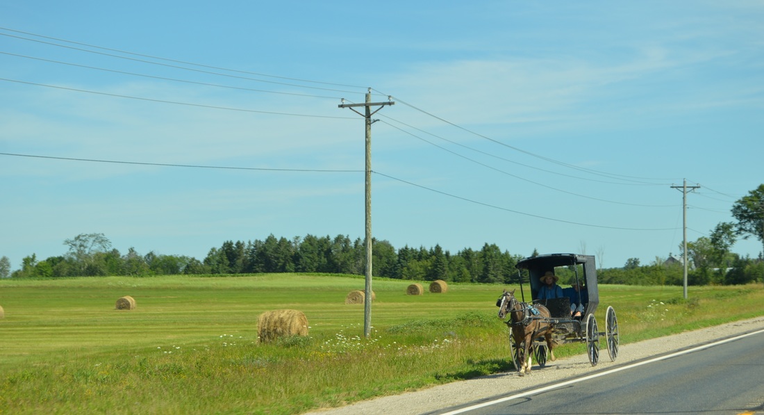
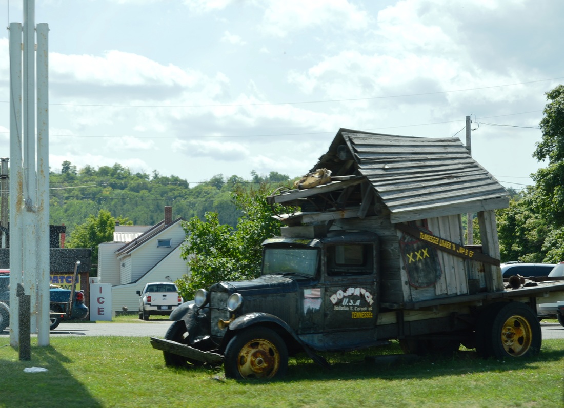
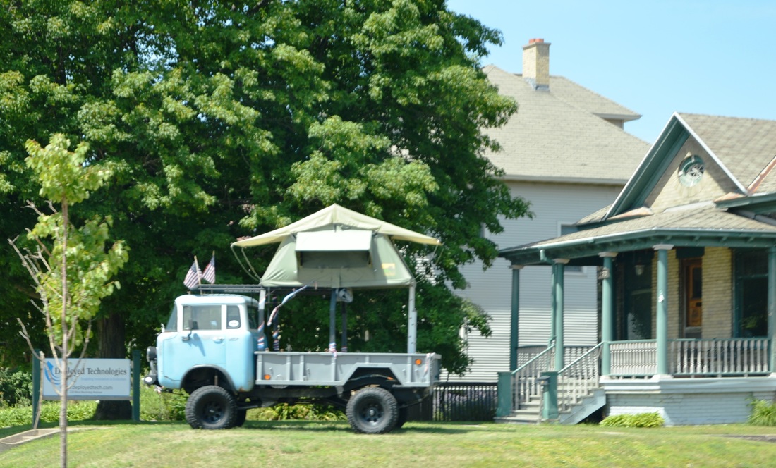
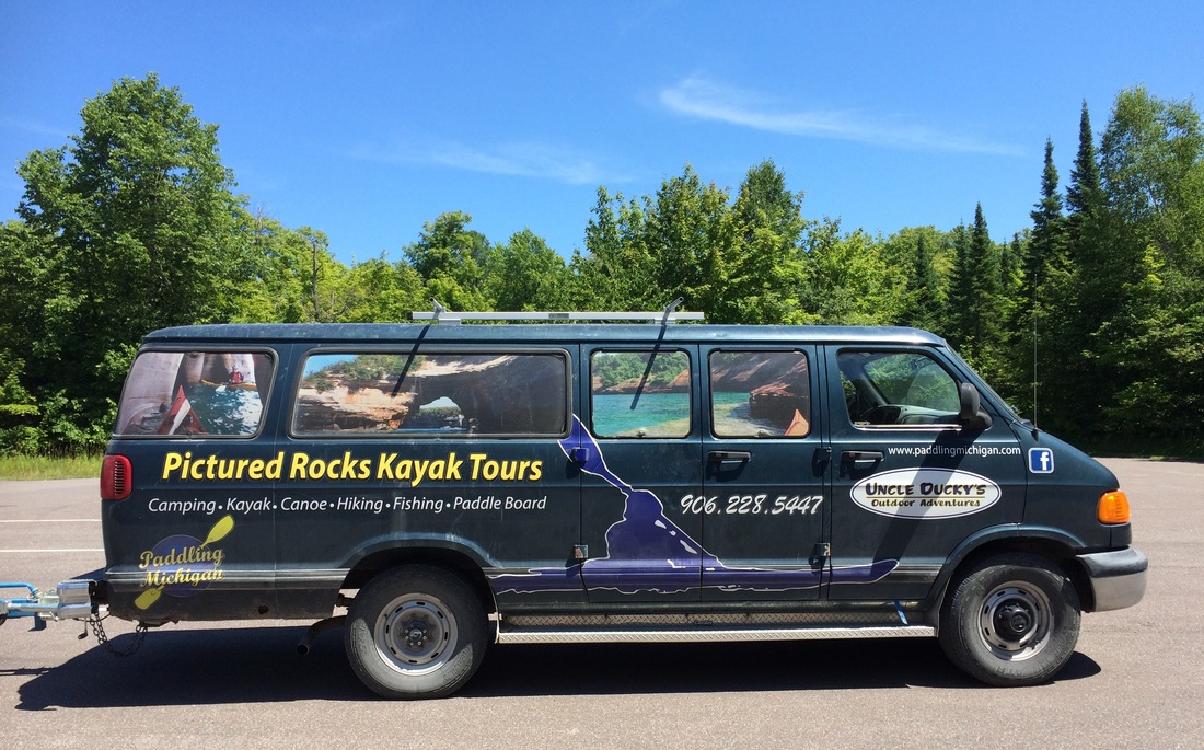
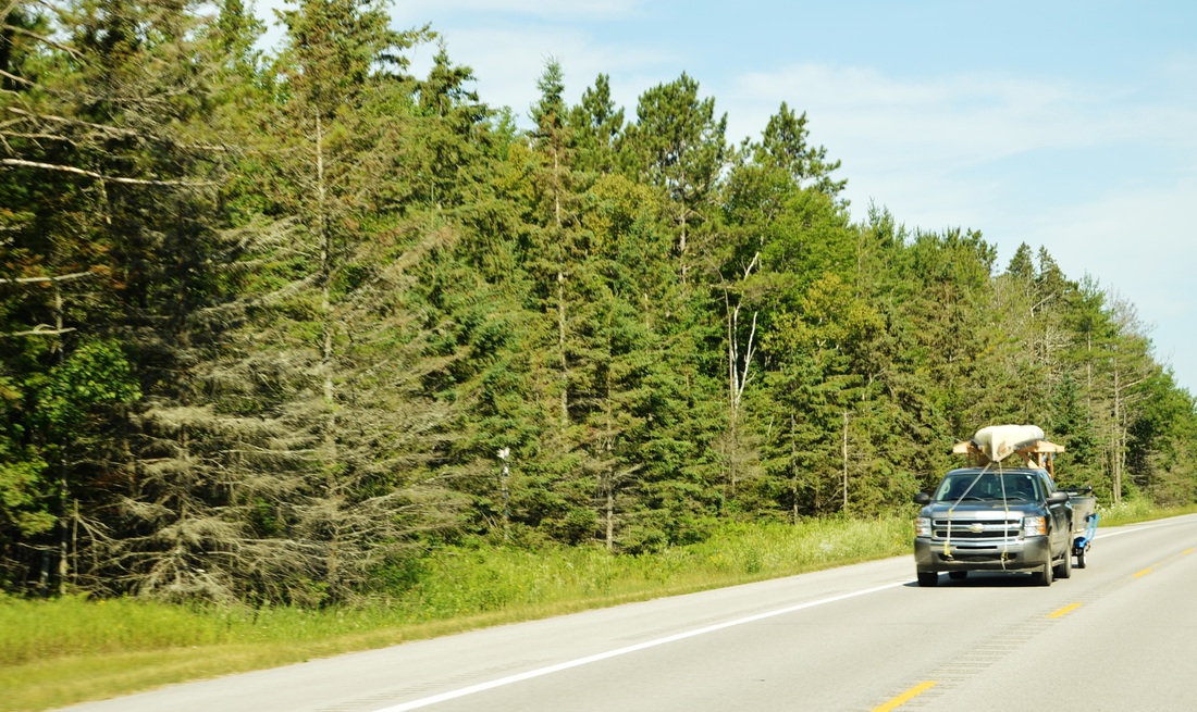
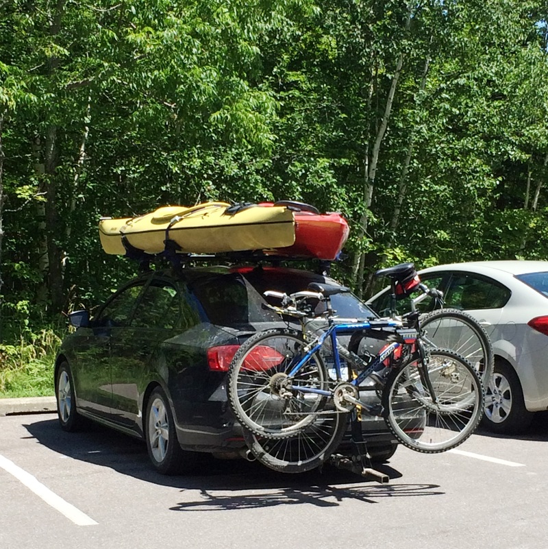
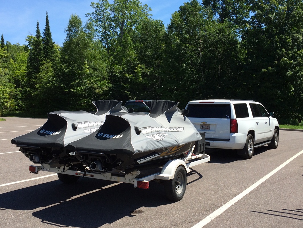
Aside from finding Amish communities (we decided that the Amish always find the most picturesque places to live), Michigonians love their lakes... Almost every other car we past along the way carried some sort of water toy from kayaks to canoes, to skidos, and any other toy one can built, tow, carry, rent or buy... Amazing!

Stories in Sand - Pictured Rocks
Of course, the crowning view was the one we saw on our trip to Lake Superior Pictured Rocks National Lakeshore.
This place of beauty was authorized as the nation's first national lakeshore in 1966. The sandstone cliffs - ochre, tan, brown, sandwiched with layers of white and green - towers 50 to 200 ft above the water. This park, a little more than 6 miles across, hugs Lake Superior's shoreline for over 40 miles. Forty plus miles of trails and views reminiscent of a painter's work. We only hiked 6 miles of this magnificent place, but we claimed all 40! :-)
It is said that: "Lake Superior, so vast, so blue, glistens against cloud-streaked sky. Deep forests, emerald, black, and gold, open onto small lakes and waterfalls. A palette of nature's colors,shapes, and textures creates the scene that is Pictured Rocks National Lakeshore". So true!

 RSS Feed
